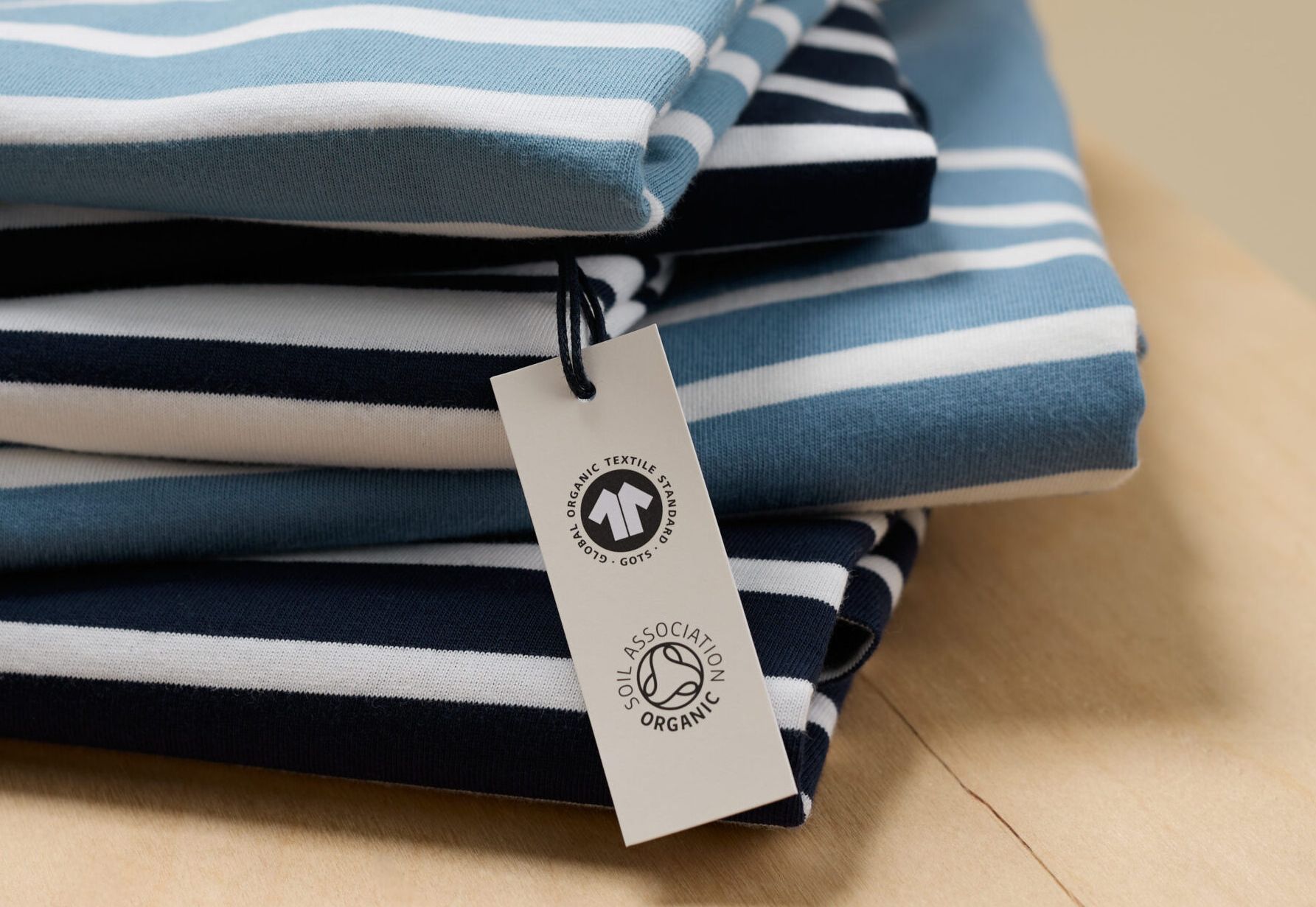
When most people think about cotton fields, they don’t often picture space satellites with thoughts of plants and soil. But in a pioneering move that could reshape sustainable agriculture, the Global Organic Textile Standard (GOTS) and AI firm Marple have successfully used satellite imagery and AI technology to differentiate cotton fields from other fields, and, more revolutionary, conventionally grown cotton from organic cotton.
Monitoring fields in India, the project demonstrates a 97% accuracy rate in detecting cotton fields and over 80% accuracy in determining their organic status. The Satellite Cotton Monitoring Project, co-financed by Global Standard, the non-profit behind GOTS, and the European Space Agency’s Business Applications and Space Solutions programme, leverages the Cotton Cultivation Remote Assessment (CoCuRA) software developed by Marple to get these results.
The technology’s ability to pinpoint cotton fields where farmers use near-organic or uncertified organic methods can ensure a steady increase in certified organic cotton by facilitating their certification process. In addition, the data collected contributes to Global Standards’ Global Fibre Registry, consolidating comprehensive data on raw material production before entering the GOTS value chain, further adding to fraud detection and prevention.
Watch Claudia Kersten and Jeffrey Thimm from Global Standard and Daniel Lanz from Marple explain more about the project and its impact:
Read more here and listen to a podcast between Claudia and Ecotextile News here.